Warren County, New York
| Warren County, New York | |||
|---|---|---|---|
|
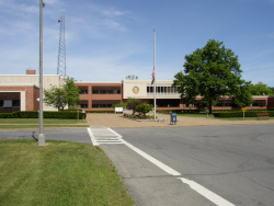
Warren County Municipal Cente | |||
| |||
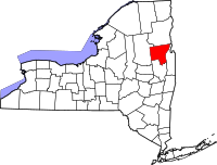
 Location in the state of New York | |||
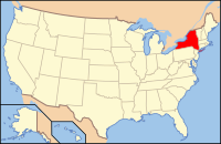
 New York's location in the U.S. | |||
| Established | 1813 | ||
| Named for | Joseph Warren | ||
| Seat | Queensbury | ||
| Largest city | Glens Falls | ||
| Area | |||
| • Total | 932 sq mi (2,414 km2) | ||
| • Land | 867 sq mi (2,246 km2) | ||
| • Water | 65 sq mi (168 km2), 6.9 | ||
| Population | |||
| • (2010) | 65,707 | ||
| • Density | 76/sq mi (29/km²) | ||
| Time zone | Eastern: UTC-5/-4 | ||
| Website | warrencountyny.gov | ||
| Footnotes: For infobox source see[1] | |||
Contents
County Well Data
| Well ID | Municipality | Operator Name | Permit Date | Spud Date | Configuration | Well Status |
|---|---|---|---|---|---|---|
| 31-113-01032 | Horicon | Unknown | 1896-12-31 | Vertical | Unknown | |
| 31-113-02636 | Queensbury | Imperial Paper & Color | 1940-01-01 | Vertical | Plugged And Abandoned |
For data sources see[2]
References
- ↑ "Warren County, New York". Wikipedia. Retrieved 2021-07-19.
- ↑ "Public Wells Data". New York State Department of Environmental Conservation. 2019-08-09. Retrieved 2019-08-09.


